City Surveyor’s Maps Collection 1695-1827 now available
Published on 19th October 2021
We are pleased to announce that the City Surveyor’s Maps Collection 1695–1827 is now available to the public as part of our presence on the Digital Repository of Ireland (DRI).
This collection is an example of urban cartography, or map making, and documents the development of the ancient Dublin City Estate within the original walled city. Dublin City Assembly acted as one of a number of landlords with estates in the city, and had a policy of leasing its lands to tenants who would improve or develop them. The City Estate was leased to Dublin’s merchant class who built houses, stables, warehouses and out-buildings on their holdings.
Maps in the collection show Dolphins Barn, Lazy Hill (now known as Pearse Street), the development of Essex Street, a 1758 never-realised plan for developing buildings and stables on Stephen’s Green and more.
Each map would have been created by the City Surveyor of the time. This post was established in 1679 after John Greene Jr. petitioned Dublin Corporation to create the position. At the time there was no overall planning authority for the city. The role of the City Surveyor was to record rather than to plan such development. His involvement in planning was confined to dividing ground in lots for setting.
This collection of maps was bound into a single volume known as the Book of Maps of the Dublin City Surveyors, thought to have been put together after 1825. The maps were professionally conserved between 1982 and 1983, and are now presented as single items.
A small proportion of these maps were available on our previous digital platform but we are delighted to have added over 100 more. We have also enhanced the map descriptions so that they should now be easier to search and more accessible.
To learn more about the collection and its historical context you could read the following:
Mary Clark, The book of maps of the Dublin city surveyors 1695-1827 : an annotated list / with biographical note and an introduction by Mary Clark (Dublin, 1983).
Finnian O’Cionnaith, ‘Land surveying in eighteenth and early nineteenth-century Dublin’ (Ph.D. thesis, National University of Ireland Maynooth, Maynooth, 2011) .
Finnian O’Cionnaith, ‘Mapping, measurement and metropolis: how land surveyors shaped eighteenth-century Dublin’. (Dublin, 2012).
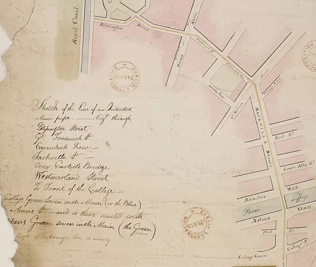
Plan for a water main from the Royal Canal to College Green.
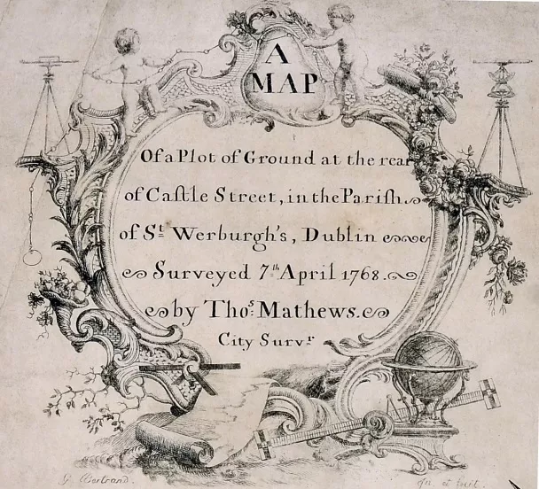
Title of a map surveyed by Thomas Mathews, showing the tools of the surveyor’s trade.
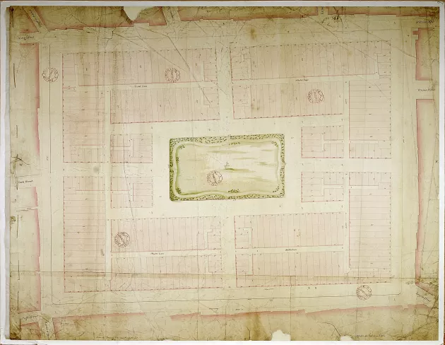
1758 plan for development of Stephens Green.
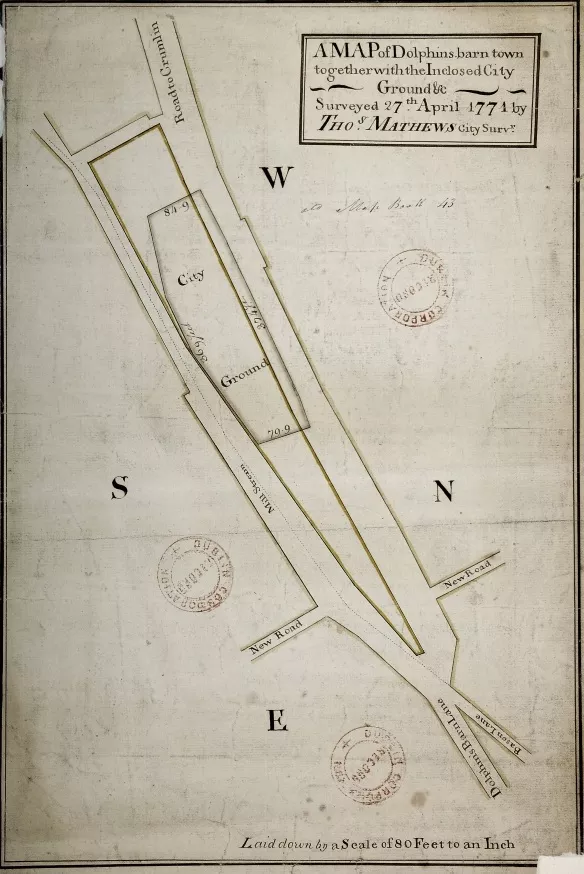
Map of Dolphin’s Barn, 1771.