The Dodder Greenway
The Dodder Greenway will provide high-quality walking and cycling facilities along the Dodder River. Dublin City Council will deliver part of this Greenway.
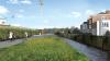
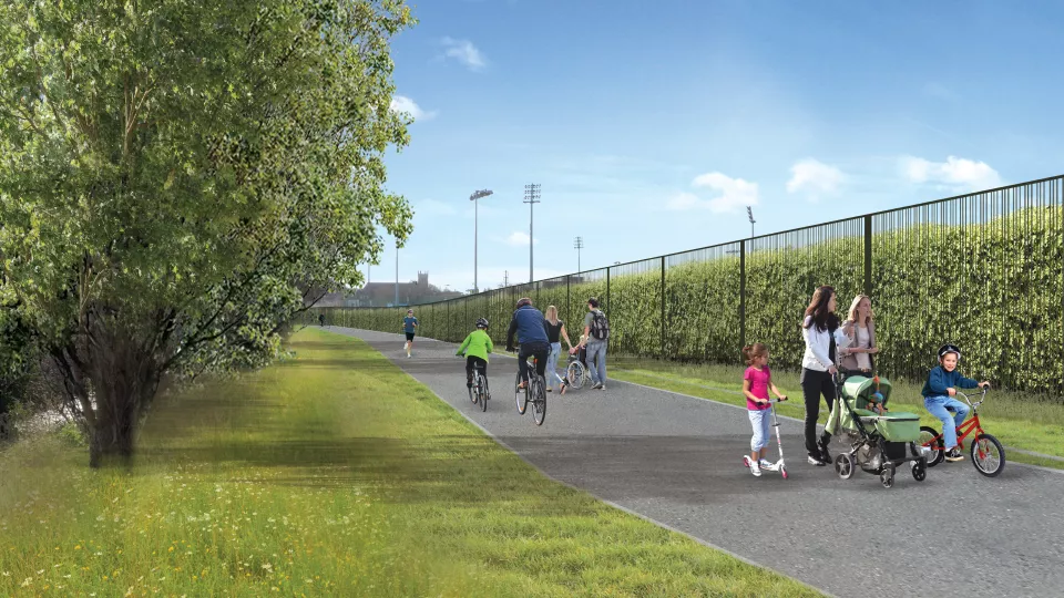
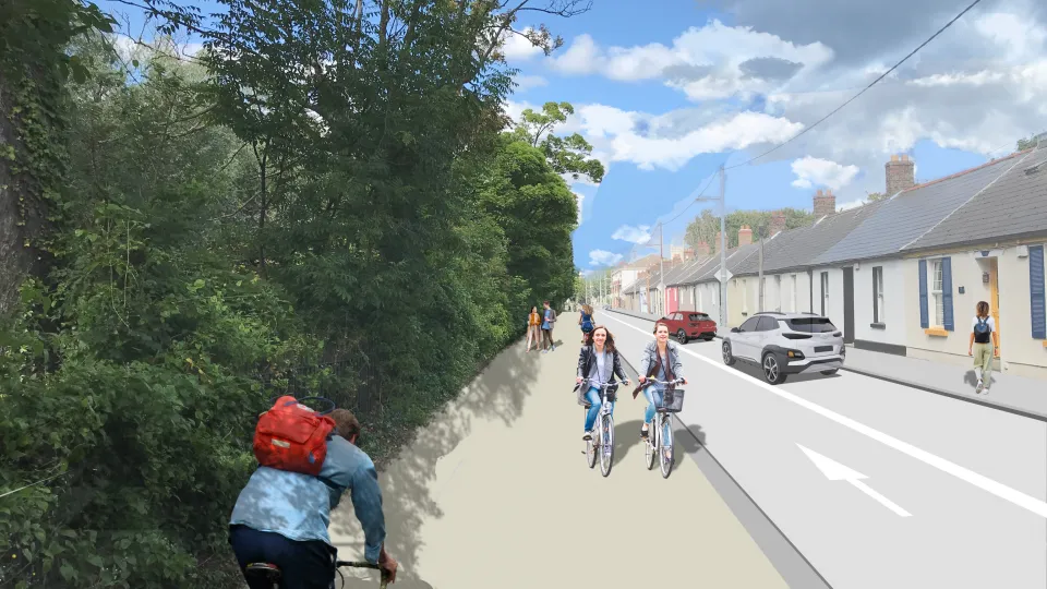
The Dodder Greenway is being developed to be a world-class greenway. It will link Sir John Rogerson’s Quay in the City Centre to the entrance to the Berberena reservoirs at Glenasmole, South Dublin.
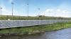
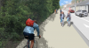
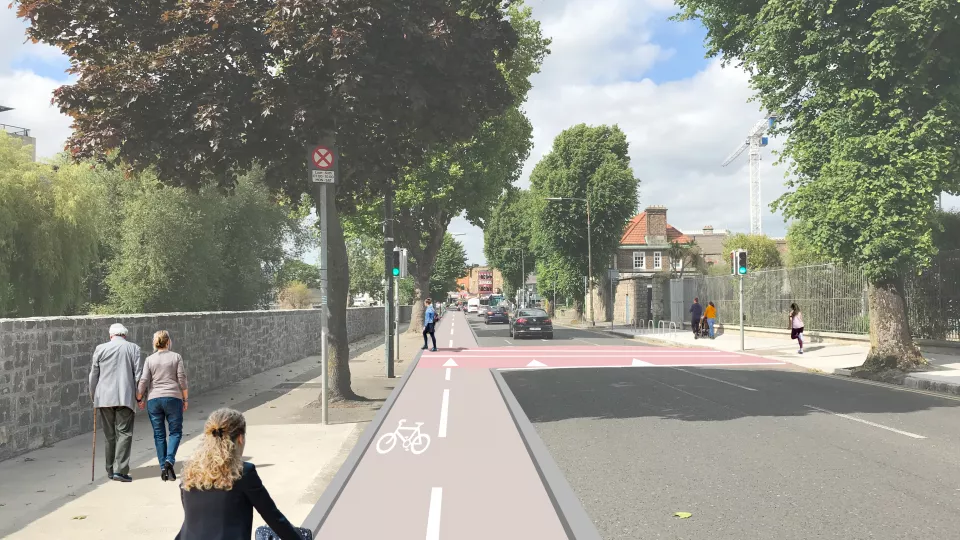
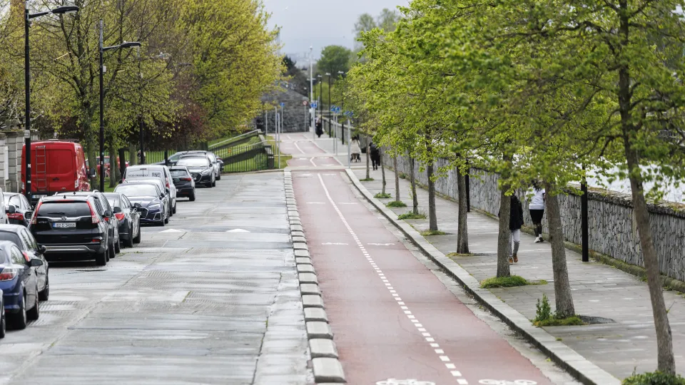
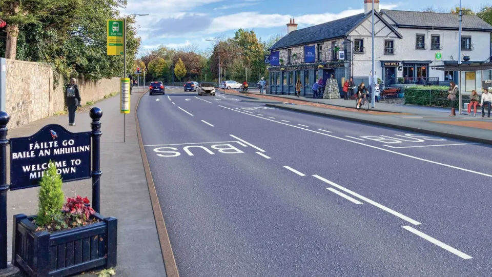
Designed as a blend of off-road and on-road pathways, the greenway will be an inclusive public amenity that enables and encourages more people to walk, wheel and cycle. It will provide access to Ireland’s beautiful linear parkland and offer safe, pedestrian-priority infrastructure.
The Dodder Greenway runs through Dublin City Council, Dún Laoghaire-Rathdown County Council and South Dublin County Council and is being delivered by all three councils. It is funded by the National Transport Authority.
This route is part of the Dublin City Council's core Active Travel Network. See where it fits into the citywide network by viewing our interactive map.
Dublin City Council is delivering its part of the greenway on a phased basis through several connected active travel schemes. These schemes include the following:
- Herbert Park to Donnybrook Road (COMPLETE)
- Beatty’s Avenue to Herbert Park (COMPLETE)
- Fitzwilliam Quay to Londonbridge Road (COMPLETE)
- Milltown Road to Dundrum Road
- Donnybrook Road to Clonskeagh Road
- Patrick Doyle Road to Orwell Road