Trinity to Ballsbridge Active Travel Scheme
This scheme will provide protected cycle paths and improved pedestrian facilities from Dawson Street junction to Lansdowne Road.
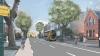
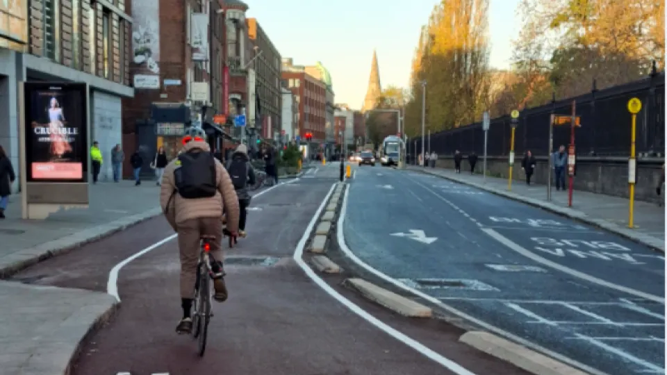
The Trinity to Ballsbridge Active Travel Scheme will provide protected cycle paths and improved pedestrian facilities along a 2km route. It will commence at Dawson Street junction and finish at Lansdowne Road.
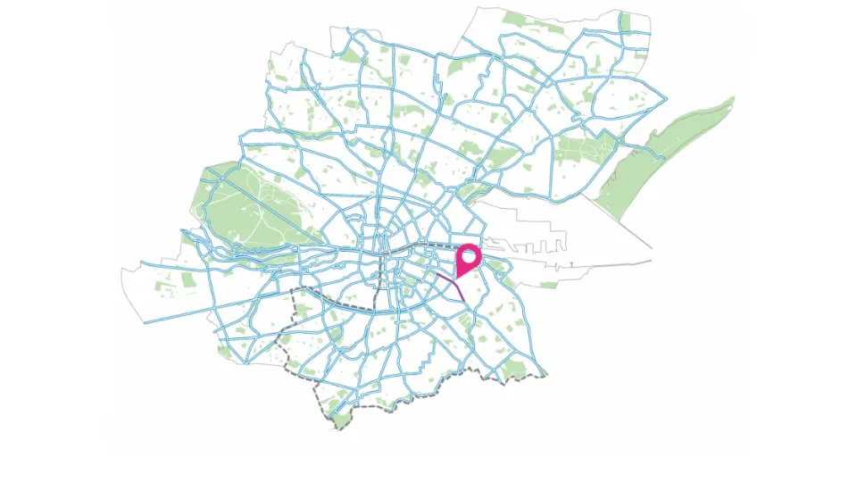
This route will form part of Dublin City Council's 314km Active Travel Network. To see where it fits into this citywide network, you can view our interactive GIS map.
The scheme is comprised of the Holles St to Lansdowne Rd Interim Scheme and the Dawson St to Lansdowne Road Permanent Scheme.

Learn More About This Scheme
- To facilitate the delivery of the Greater Dublin Area Cycle Network Plan.
- To increase cycling along the route by improving access to key education, employment, retail and transport destinations.
- To reduce the risk of cyclist collisions through segregation from traffic.
- To encourage increased levels of physical activity and leisure use along the corridor through provision of a safe, high-quality and attractive route for both cyclists and pedestrians.
There are a number of other projects at various stages of design and delivery which will affect Merrion Square North, Clare Street and Nassau Street. In order to ensure a joined up approach, the decision was made to split the Trinity to Ballsbridge Active Travel Scheme into two sections. The section along Mount Street Lower and Northumberland Road will be prepared first.
Some of the other projects which impacted this decision are:
- The Fitzwilliam Walking and Cycling Scheme.
- The Merrion Square Tea Rooms.
- The Dublin Bus Network Re-design.
- The Merrion Street Walking and Cycling Scheme.
- The Dublin City Centre Transport Plan 2023
This scheme will be 100% funded by the National Transport Agency.
Due to the implementation of 24-hour bus lanes on Northumberland Road, all existing parking spaces, which operate outside of bus lane hours, will no longer be available.
A 12 metre indented parking zone on the north side of Mount Street Lower will need to be removed and it is proposed that bike parking be provided here instead. However, no disabled parking spaces will be removed as part of the scheme.
It is proposed that a 12 metre section of loading bay and taxi rank at the western end of Mount Street Lower be removed as part of the scheme.
It is proposed that a 12 metre length of existing indented parking on the north side of Mount Street Lower be converted to a cycle parking zone with suitable bike stands provided.
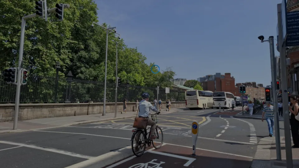
Due to the limited road space available and the requirement to retain bus lanes, cycle lanes along some sections of the route aren’t fully segregated. Shared bus and cycle lanes will be provided, where cyclists have priority over bus and taxi traffic.
In the future, it may be possible to realign the roadway or reroute traffic in order to provide fully segregated facilities.
Dublin City Council is developing a safer, inclusive and sustainable walk-wheel cycle network. This scheme aims to:
- Enhance quality of life by improving access, connectivity and sustainable mobility for all, whilst reducing transport-related carbon emissions.
- Provide a safer environment for walking and cycling, which is especially important from the Ballsbridge area to Merrion Square.
- Reduce the risk of pedestrian and cyclist collisions through segregation from traffic.
- Encourage increased levels of physical activity and leisure through the provision of a safe, high-quality and attractive route for both cyclists and pedestrians.
- Facilitate the delivery of the Greater Dublin Area Cycle Network Plan by providing continuous, segregated cycling facilities.
- Improve connectivity to the Fitzwilliam Cycle Route and the Grand Canal Pedestrian and Cycle Safety Improvements Scheme.