Expired Local Area Plans
The Local Area Plans (LAPs) listed here have been superseded or expired.
Clongriffin-Belmayne Local Area Plan
The Clongriffin-Belmayne Local Area Plan expired in December 2022. It was first published in 2012 and extended for a five-year period. Planning policy for the area is now covered by Chapter 13 of the Dublin City Development Plan 2022-2028.

George’s Quay Local Area Plan
The George's Quay Local Area Plan expired in July 2022. It was first published in 2012 and then extended for a five-year period. Planning policy for the area is now covered by the Dublin City Development Plan 2022-2028.
The Liberties Local Area Plan
The Liberties Local Area Plan expired in May 2020. It was first published in 2009 and extended for a five-year period in 2014. Planning policy for the area is now covered by Chapter 13 of the Dublin City Development Plan 2022-2028.
The plan sought to achieve social, economic and physical regeneration in the area. It aimed to do this by providing a co-coordinated approach to the development of key sites and by exploiting opportunities for new community infrastructure, open spaces and public realm improvements.
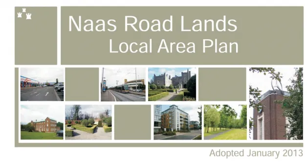
Naas Road Lands Local Area Plan
The Naas Road Lands' Local Area Plan expired in January 2023. It was first published in 2013 and then extended for a five-year period. Chapter 13 of the Dublin City Development Plan 2022-2028 lists the Naas Road as a Strategic Development Regeneration Area, superseding this LAP. Planning policy for the area is now covered by the current Development Plan and the City Edge Project.
The vision of the plan is to create a new urban identity for the Naas Road lands by regenerating existing developed lands as a sustainable mixed use area, capitalising on the area’s locational advantages and improving the relationship of the lands to their immediate surroundings.