5.4 City Waterways
5.4 City Waterways
The city waterways comprise of the rivers and streams that flow into Dublin Bay as well as the constructed canals. They function to provide drainage, recreation and natural habitats for city flora and fauna. Like many other cities, Dublin has gone through a phase of turning its back on its watercourses, but it has now moved to an appreciation of their value to urban life.
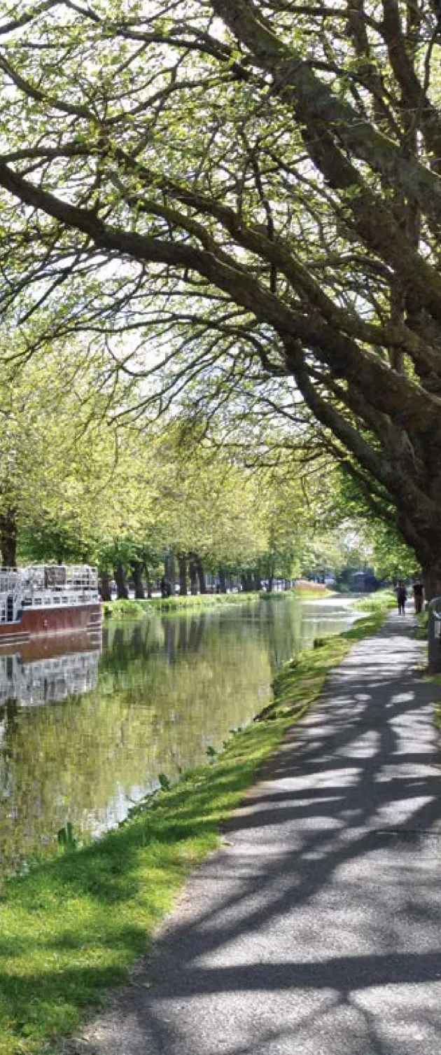
The Grand and Royal Canals are linear man-made water landscapes embracing the inner-city. They are under the management of Waterways Ireland. Within the city, they provide a strong sense of identity connected to the city’s transport and industrial heritage. Today they are also valued green walking and cycling routes and meeting places for residents and city workers.
To promote and interpret the canal’s industrial heritage, it is proposed to assess the potential for the restoration of the St James Basin area, which was originally used by barges transporting Guinness into the midlands of Ireland. This assessment will look at the possibility of establishing it as a heritage canal park and visitor centre and link it into the adjacent popular Guinness storehouse visitor experience.
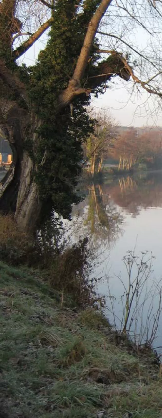
The main river corridors include the Santry and Tolka on the northside and the Camac, Poddle and Dodder on the southside and the central river Liffey. The encroachment of development has, over the centuries, removed and compromised many of Dublin’s original rivers and streams with some no longer visible as they have been culverted underground.
Integrated management plans and city greenway plans are recommended for the main river corridors, with the objectives of balancing the various demands of drainage, flood risk, recreation, green transportation and biodiversity.
The potential to expose culverted watercourses has also considerable potential where redevelopment is proposed. In such cases the provision of open space in connection with unearthing watercourses will enhance their value and will assist to overcome level differences when such watercourses are at a deep level.
The River Liffey is central to the origins and present day identity of Dublin. Its character changes from the urban central city quays to the more natural vegetated banks in the upstream sections. Within the city centre, a greater relationship with the river can be established through enhancing the river corridor, however this will require balancing space for traffic with space for people and landscape treatment. In the upstream sections from Island Bridge to the Strawberry Beds, greater access for walkers and bicycle by continuous routes requires assessment to determine the potential for a long distance Liffey recreational route.
Policy
- Parks Services will seek the appropriate development, conservation and management of the city waterways, which are an asset to Dublin’s landscape. Where required, cooperation with relevant management authorities, such as Waterways Ireland, will be sought.
- Parks Services will seek to unearth culverted watercourses, where feasible and appropriate, in an effort to improve the natural environment and create landscape linkage along such corridors.