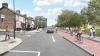
Kilmainham to Thomas Street Active Travel Scheme
Planned changes will provide 2.6km of walking and cycling routes in this historic part of Dublin. All sections of this scheme are currently underway.
The Kilmainham to Thomas Street Active Travel Scheme is part of Dublin City Council's core Active Travel Network and is funded by the National Transport Authority.
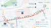
The scheme will provide 2.6km of walking and cycling facilities from Kilmainham Gaol to Thomas Street. It will extend from the junction of South Circular Road and Kilmainham Lane, along South Circular Road, Suir Road, Grand Canal View, St. James' Linear Park, James' Walk, Forbes Lane, Marrowbone Lane and Thomas Court. It will end at the junction with Thomas Street. To see where this scheme fits into the citywide Active Travel Network, view our interactive GIS map.
This scheme will be delivered in two distinct phases. The first is an interim scheme from Suir Road to Thomas Street, which is currently under construction.
The second is a permanent scheme, which will be delivered in three sections between 2024 and 2026. This phased approach has the benefit of:
- Earlier implementation of improved safety measures.
- Flexibility to allow minor alterations to the layout, if necessary, before the permanent features are constructed.

Interim Scheme: Suir Road to Thomas Street
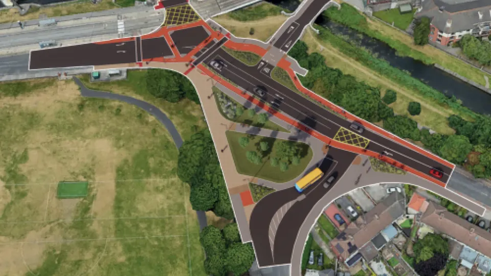
Permanent Scheme: Suir Road / Davitt Road Junction Upgrade
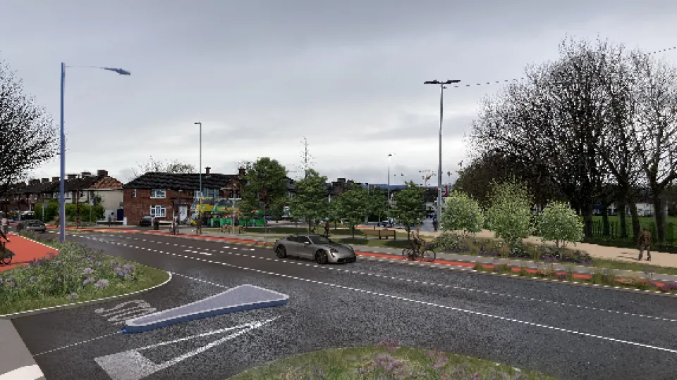
Permanent Scheme: South Circular Road to Thomas Street
Permanent Scheme: St. James' Linear Park
Learn More About This Scheme

To provide enhanced cyclist safety as early as possible, interim measures were constructed from Marrowbone lane to Rialto Bridge on the South Circular Road.
The Suir Road Junction Upgrade will be progressed ahead of the remainder of the scheme delivery to improve cycle safety and overall junction performance in light of additional cyclist volume generated by the interim scheme.
The National Transport Authority are the funding authority for this scheme.